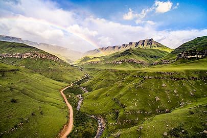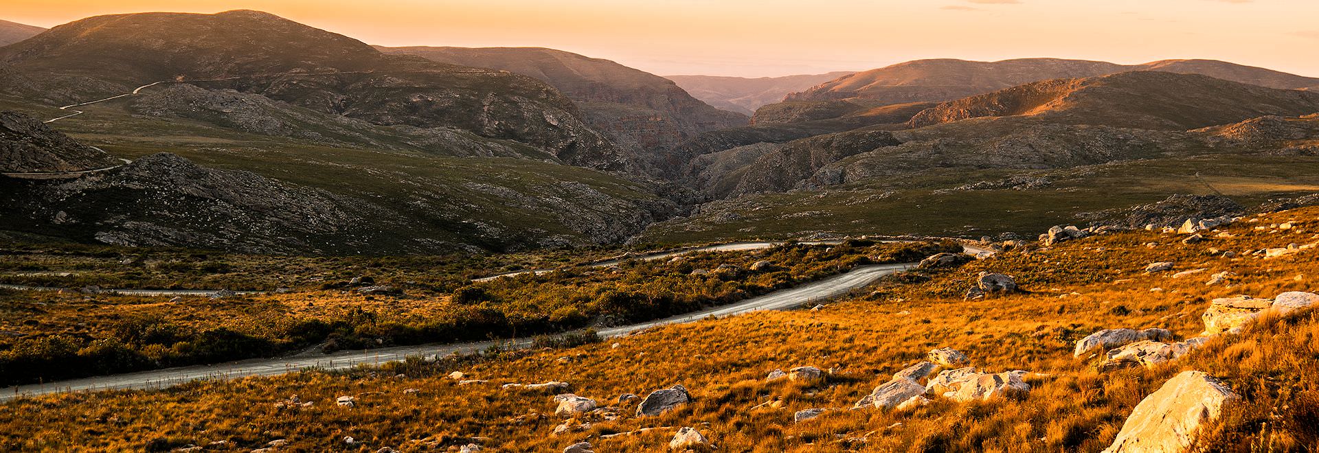
Few things are as relaxing as an unhurried drive through wild country. In South Africa, there are many regions with well-kept roads meandering through landscapes that dreams are made of.
R44 From Gordon's Bay
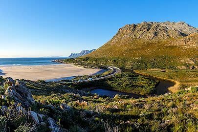
The stretch of the R44 that starts just after Gordon's Bay, about an hour from Cape Town, is a spectacular route with views of the coastal slopes of the Kogelberg Mountains and False Bay. Huge proteas, pincushions of the genus Leucospermum, powderpuffs of the genus Sorocephalus and many more flowering fynbos species fill the daunting slopes, most of which are endemic. Baboons are often seen on this route, and several picnic spots make good places to stop and take in the scenery. 'Dappat se Gat' is a scenic beach on the R44, and whales can often be seen moving into False Bay during the whale season. This route is visited on most tours of South Africa that visit Cape Town.
Swartberg Pass
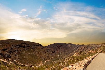
A large portion of the Swartberg is a UNESCO World Heritage Site, and the Swartberg Pass is an ideal route to explore this dramatic area. The winding gravel road and stone roadside walls are the work of Thomas Bain, the master pass builder responsible for many of the country's most scenic passes. The windward slopes, as you approach the Swartberg from the Little Karoo town of Oudtshoorn, are filled with age-old flowering plants such as the White Water Sugarbush, Linear-leaf Silver Conebush, Wagon Tree and Swartberg Louse-Pincushion. At the top of the pass, the view opens over the valley below. On the leeside, the vegetation suddenly changes, and aloes essentially replace proteas. One turn, and suddenly, there are massive rock faces protruding out of the earth, painted orange by lichen.
7 Passes
The 7 Passes were the original route between the towns of George and Knysna in the Garden Route. The road climbs over the quiet slopes of the Outeniqua Mountains, behind the busy coastal towns of the southern Cape. It leads to Afromontane forests and rivers stained the color of rooibos tea by tannins, where birdsong fills the understory and the coastal valleys open up below. The area is home to the Knysna loerie, a striking bird native to the area, as well as several species of yellowwood and milkwood trees. The adjacent Outeniqua nature reserve has many lovely hiking trails to explore the area better, and the SANParks Woodville Big Tree near the town of Hoekwil has an easy walking path through the forest for all to enjoy.
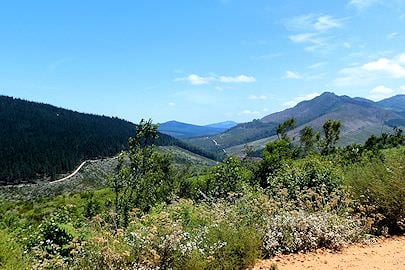
Abel Erasmus Pass
The Abel Erasmus Pass, on the R36 in Limpopo on the road from Ohrigstad down toward Hoedspruit, near the historic lands of the Rain Queen of the BaLobedu is an 11-km route through a very scenic northernmost stretch of the Drakensberg Mountains. Solid rock faces line the top of the mountains here, and one of Africa's rarest falcons, the Taita falcon, nests in the area. The road is smooth, and the curves are gentle, fit for any vehicle type.
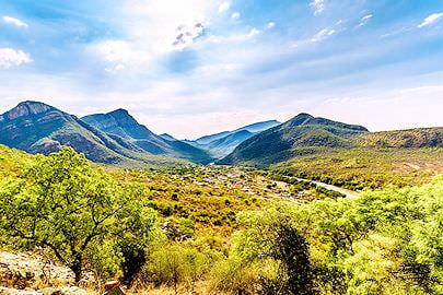
Barkly Pass
Barkly Pass is a high-altitude pass between Elliot and Barkly East in the beautiful Eastern Cape Drakensberg. This asphalt road is about 10 km long. It features scenic views of the surrounding highland grassy plains, wildflower meadows, cliffs, and giant boulders sculpted by the elements over millennia as though they were made for the landscape. Snow often falls here during the winter, one of the few places in South Africa.
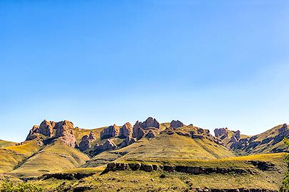
Gamkaskloof Pass
Gamkaskloof is better known as “Die Hel” (The Hell), a name of debated origin; some link it to the summer heat in the valley, others to the Afrikaans “helling”, a steep slope. It is, however, a picturesque and intriguing place all the same. A small community farmed the isolated valley for more than a century, reaching Prince Albert and Calitzdorp on foot or by donkey over the Swartberg until the road was completed in 1962. For this reason and the unique cultural aspects of the place, it is now a national monument and a favorite of 4x4 enthusiasts. Acacia trees, local aloes, and “spekboom” (Afrikaans for “bacon tree”) fill this unique Karoo valley.
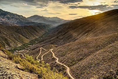
Nuwekloof Pass
The Nuwekloof Pass runs through the Baviaanskloof, a valley at the eastern end of the Cape Fold Belt known for its views and floral diversity. Follow the R332 to the scenic road between the Baviaanskloof Mountains to the north and the Kouga Mountains to the south. Proteas, ericas and restios cover most of the landscape here, with sandstone and shale outcrops scattered throughout. Deep erosion gorges are found in the area, where pebble-laden floors lead to ancient caverns once home to many San rock painters whose works still survive. The road through this rugged terrain is better suited to a 4x4, but certainly worth the adventure.
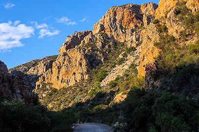
Sani Pass
Sani Pass is arguably the most famous pass in Southern Africa. It crosses the great escarpment between Lesotho and South Africa, the Drakensberg Mountains, with all their beauty and deep-rooted history. The long, winding road climbs to an altitude of 2,876 m (9,436 ft). The approach from Himeville and Underberg in KwaZulu-Natal is tarred to the foot of the pass, and from the summit the road continues into Lesotho toward Mokhotlong. The pass itself is still gravel, with an upgrade under way in phases, and South African border officials allow only 4x4 vehicles up it; snow and ice can close it in winter, but it is well worth it. Those who reach the top are rewarded with views over the Drakensberg foothills and rock faces untouched by development. For many South Africans, it is the ultimate 4x4 route, and one to drive at least once.